How to cycle along the routes and not to get lost?
These things will help you:
a) Road marking painted on pillars and trees (partly along the route).
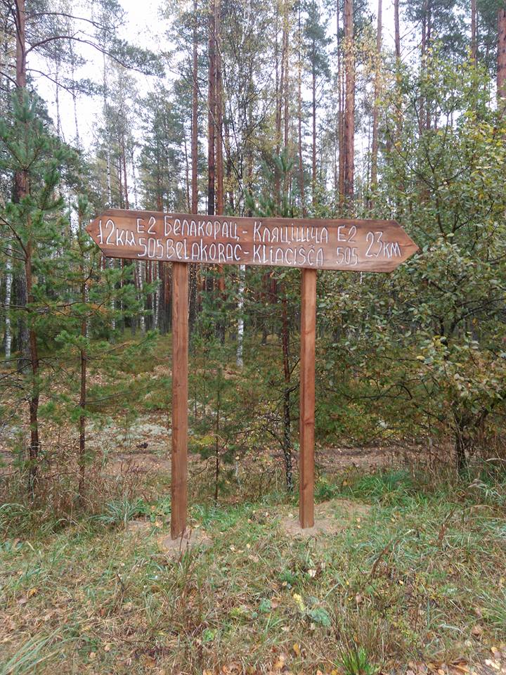
b) Wooden signs in some forest areas of the route.
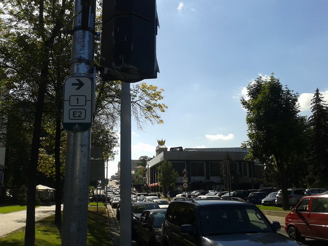
Experimental metal signs have been installed only in one area in Minsk. This is the standard we would like to fulfil in the near future.
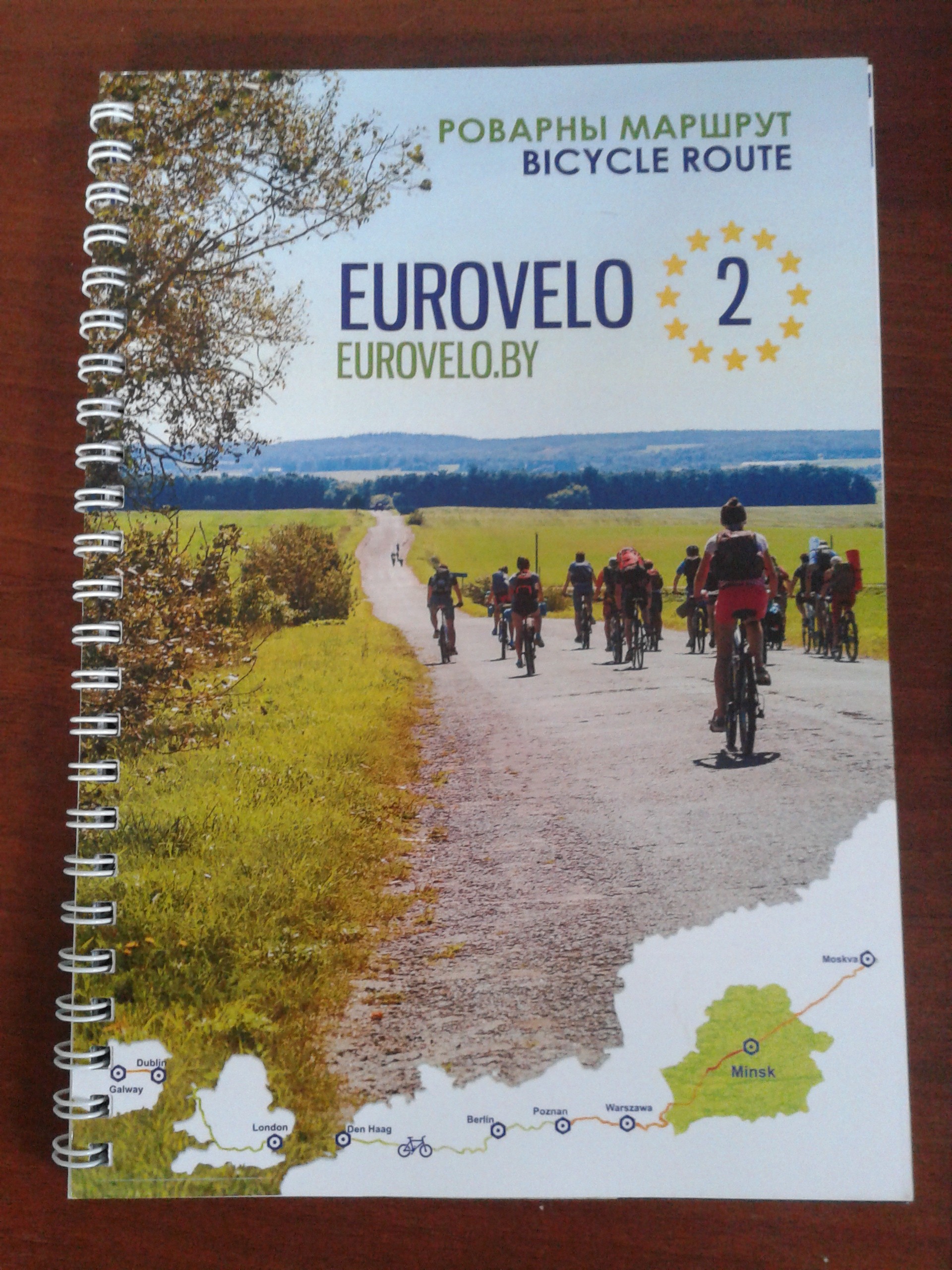
c) A guidebook. The paper version can be obtained from the office of the organization. You can download the PDF version from the website. The guidebook contains maps of all the parts of the route.
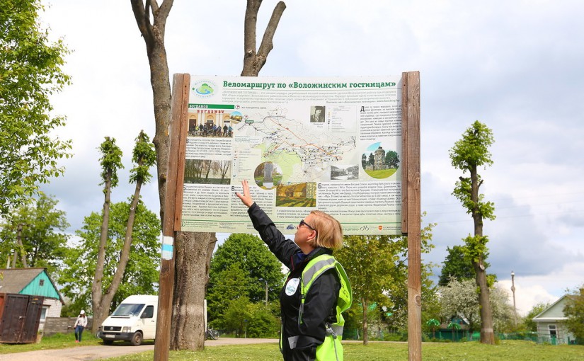
d) Information boards installed along the route.
e) Also you can download a track to your phone or navigator with the route and main route points from the website in format * .kml, * .kmz. The most easy to use and free program that can display this track on your phone: maps.me
There are other programs that cyclists like: Oruxmaps SAS4Android
In program Sas4Android tracks are uploaded in *.gpx format, route points – in *.kml or *.kmz format. In maps.me program both route points and tracks are uploaded in *.kml or *.kmz format.


